Historic Forts and City Walls in Siem Reap & Angkor Wat
A visual guide from the Siem Reap and Angkor Wat travel guide — see all posters in Visual Guides.
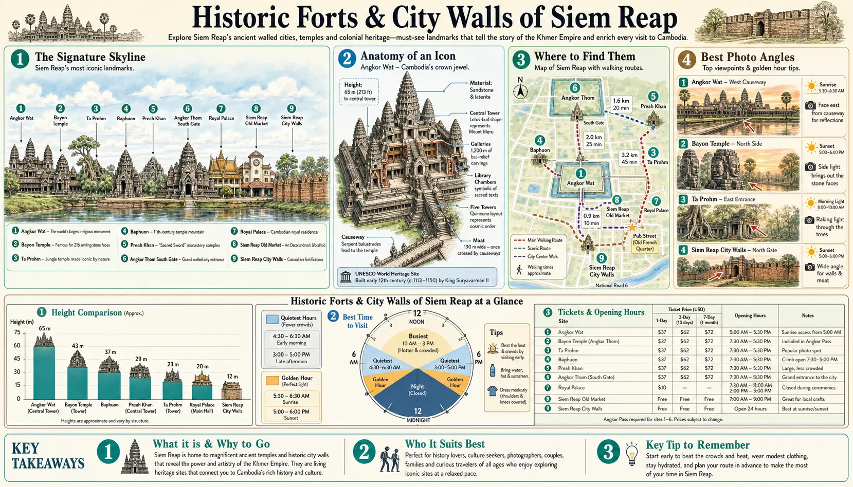
Angkor Thom is a walled city in the literal sense: a square of laterite rampart three kilometres on each side, roughly eight metres high, with a broad moat outside it and five gates cut through. Walking a stretch of the top of that wall — the path from the south gate towards the southwest corner is the easiest access — gives a sense of the scale that ground level hides. Inside were wooden palaces and markets that have long since rotted away, leaving only the stone temples standing in what was once a city of many thousands.
Walking the ramparts
Access points to the top of the Angkor Thom wall sit just inside the south and north gates, where earthen ramps climb to a shaded path along the crest. It is quiet, flat and largely unvisited, and a stretch of a kilometre or two takes half an hour with views over the moat and the forest. The moat itself is best seen from the causeways at sunrise, when the water is still. Cyclists can follow the wall's outer road for most of its length; the surface is rough in places but the traffic is minimal.
Other walled sites
Preah Khan, north of Angkor Thom, is ringed by an enclosure carrying stone garudas set at regular intervals along the outer wall — around seventy of them survive, and the temple's long east-west axis makes it feel like a compound rather than a shrine. Banteay Kdei and Ta Prohm both sit inside substantial enclosures with gate towers. For serious fortification, Banteay Chhmar in Banteay Meanchey province, about three hours northwest, keeps a large moated enclosure and carved galleries with almost no visitors and no ticket queues. It works best as an overnight rather than a day trip.