UNESCO World Heritage in Siem Reap & Angkor Wat
A visual guide from the Siem Reap and Angkor Wat travel guide — see all posters in Visual Guides.
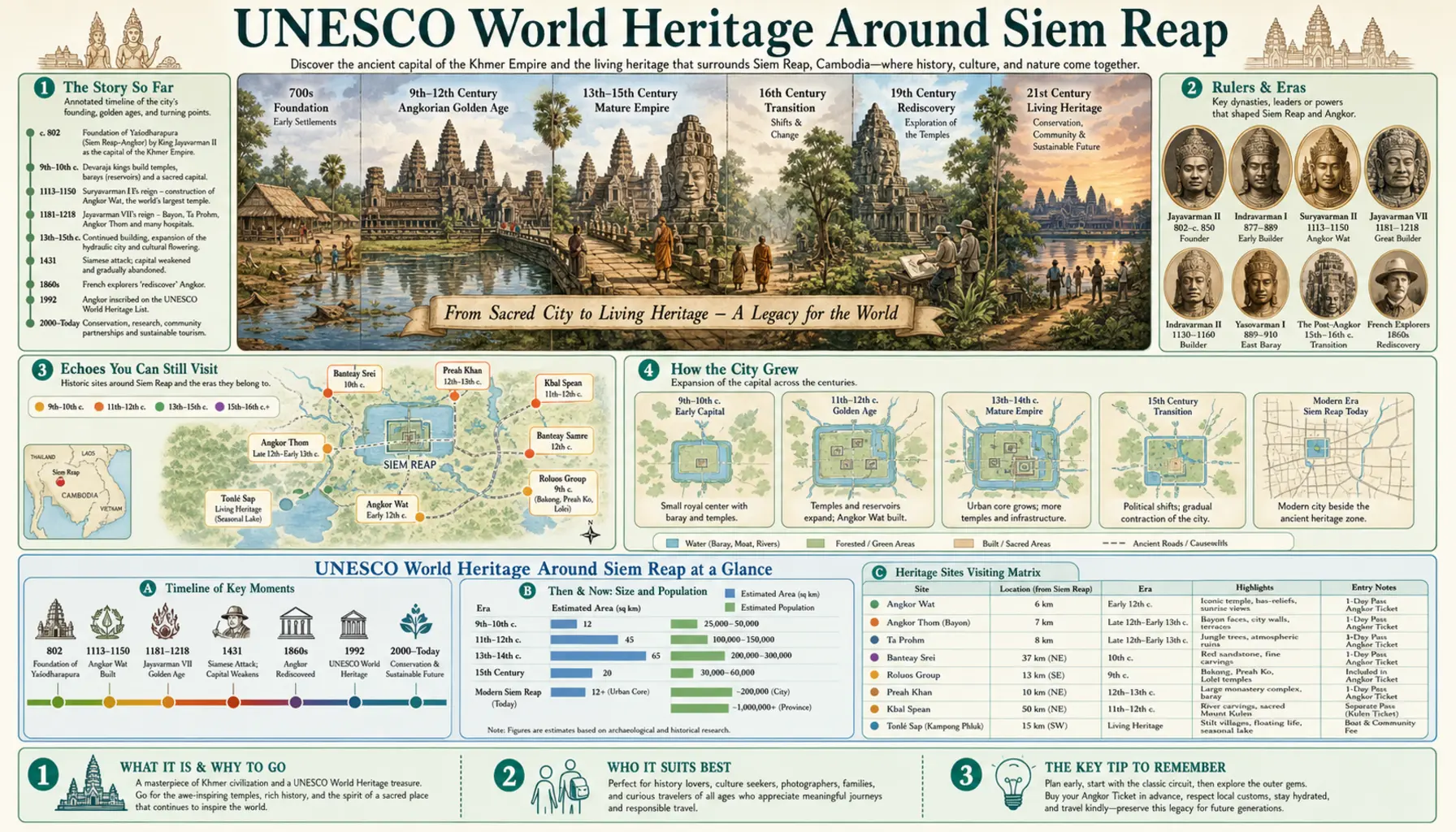
Angkor was inscribed in 1992 and the listed area covers roughly 400 square kilometres, so it is a landscape rather than a monument, with villages, rice fields and working reservoirs between the temples. That scale is what most first visits underestimate. Angkor Wat and the Bayon stand four kilometres apart, Banteay Srei another thirty beyond, and the airborne lidar surveys flown in 2012 and 2015 mapped street grids, canals and embankments beneath the forest that decades of ground survey had missed. Three more Cambodian sites have since joined the list, two of them within reach of town.
What is inscribed
Angkor takes in the Angkor Wat complex, the walled city of Angkor Thom with the Bayon at its centre, Ta Prohm, Preah Khan, the Roluos group and hundreds of smaller structures. Preah Vihear, added in 2008, sits on the Thai border escarpment about 200 km north-east and makes a long day by car. Sambor Prei Kuk, a pre-Angkorian brick capital near Kampong Thom, joined in 2017 and lies on the road towards Phnom Penh. Koh Ker, the tenth-century capital with its seven-tiered pyramid, was added in 2023 and is now roughly two hours away on sealed road, which has changed how feasible it is.
Visiting the park
Passes come from the Angkor Enterprise office on Road 60 north-east of town, or its official website, rather than from the temples themselves. Expect roughly USD 37 for one day, 62 for three and 72 for seven, with the multi-day passes usable on non-consecutive days inside a fixed window. The office opens before dawn for sunrise arrivals, and the queue moves fast. Shoulders and knees must be covered to climb the upper level of Angkor Wat, drones are not permitted, and climbing on unrestored stone is policed. Guides licensed by the Apsara Authority can be booked in town and make a real difference at Bayon and Preah Khan.