Lakes and Reservoirs in Kyoto
A visual guide from the Kyoto travel guide — see all posters in Visual Guides.
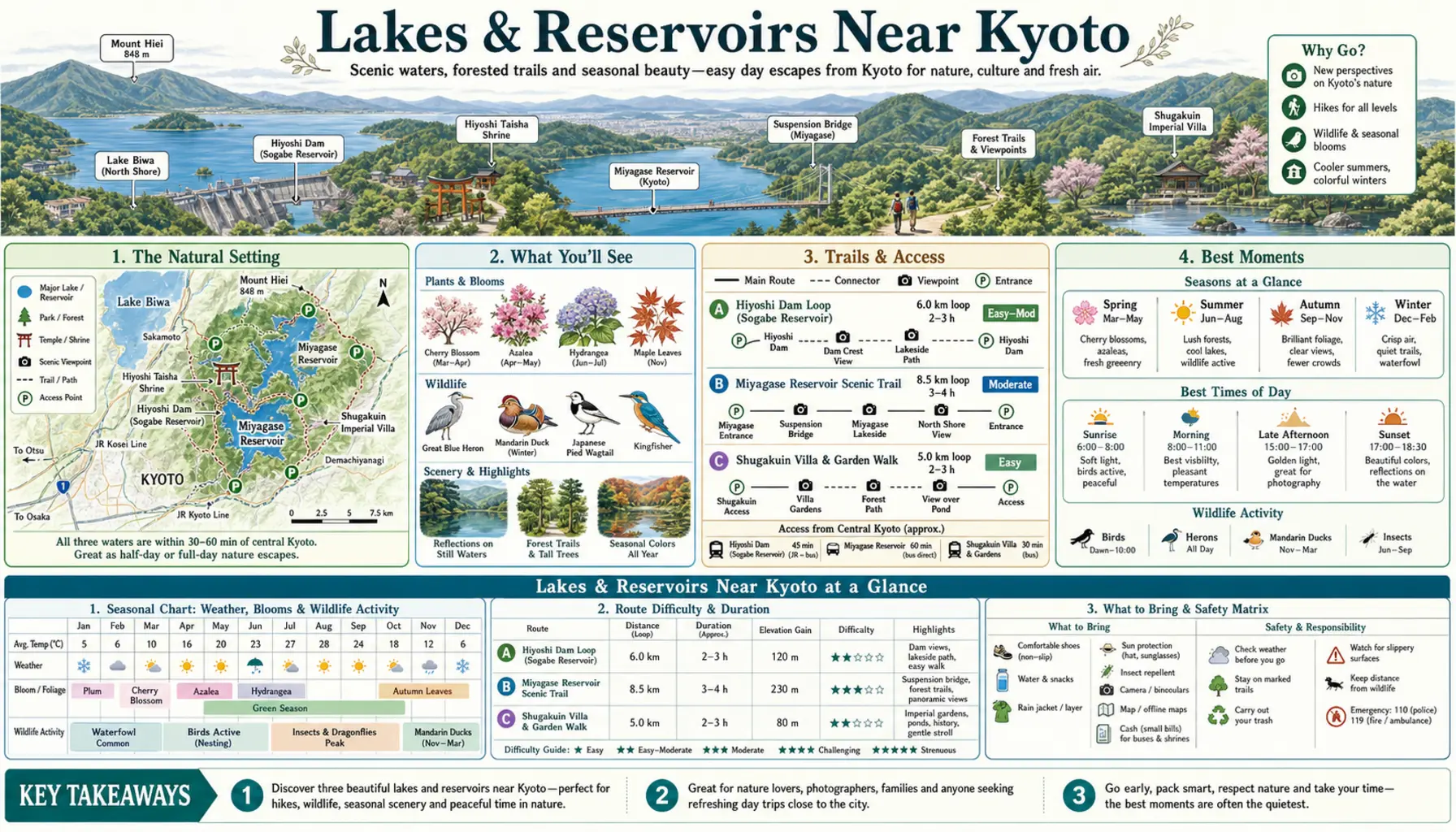
Ten minutes east of Kyoto Station by JR, the line comes out at Otsu and the whole of Lake Biwa opens up — some six hundred and seventy square kilometres of it, the largest lake in Japan, with a ropeway on the western shore lifting to a terrace at around eleven hundred metres where the deckchairs face the water. Kyoto itself sits in a basin with no lake of its own, but it has garden ponds a thousand years old and a canal that still carries boats over the hills from Otsu.
Lake Biwa
Otsu is the obvious gateway: the Michigan paddle steamer runs cruises from the port, and the Biwako Valley ropeway climbs to the Biwako Terrace for the long view down the lake. The Kosei Line up the western shore reaches Omi-Maiko, where the beaches are genuinely swimmable in July and August and far emptier than the coast. Shirahige's torii standing in the shallows, a few stops further north, is the region's signature photograph and works best at dawn, since the road behind it is busy. Trains from Kyoto run every fifteen minutes or so.
Ponds and canals in the city
Osawa Pond in Sagano was dug in the ninth century as a garden lake and still holds autumn moon-viewing boat evenings; nearby Hirosawa Pond mirrors the northern hills with almost nobody about. Takaragaike, at the northern end of the Karasuma subway line, has a flat loop of roughly a kilometre and a half around the water, popular with runners, with Mount Hiei standing behind it. The Lake Biwa Canal boat runs between Otsu and Keage in spring and autumn only, takes around fifty minutes through the tunnels, and books out well ahead.