Walking Tours in Kyoto
A visual guide from the Kyoto travel guide — see all posters in Visual Guides.
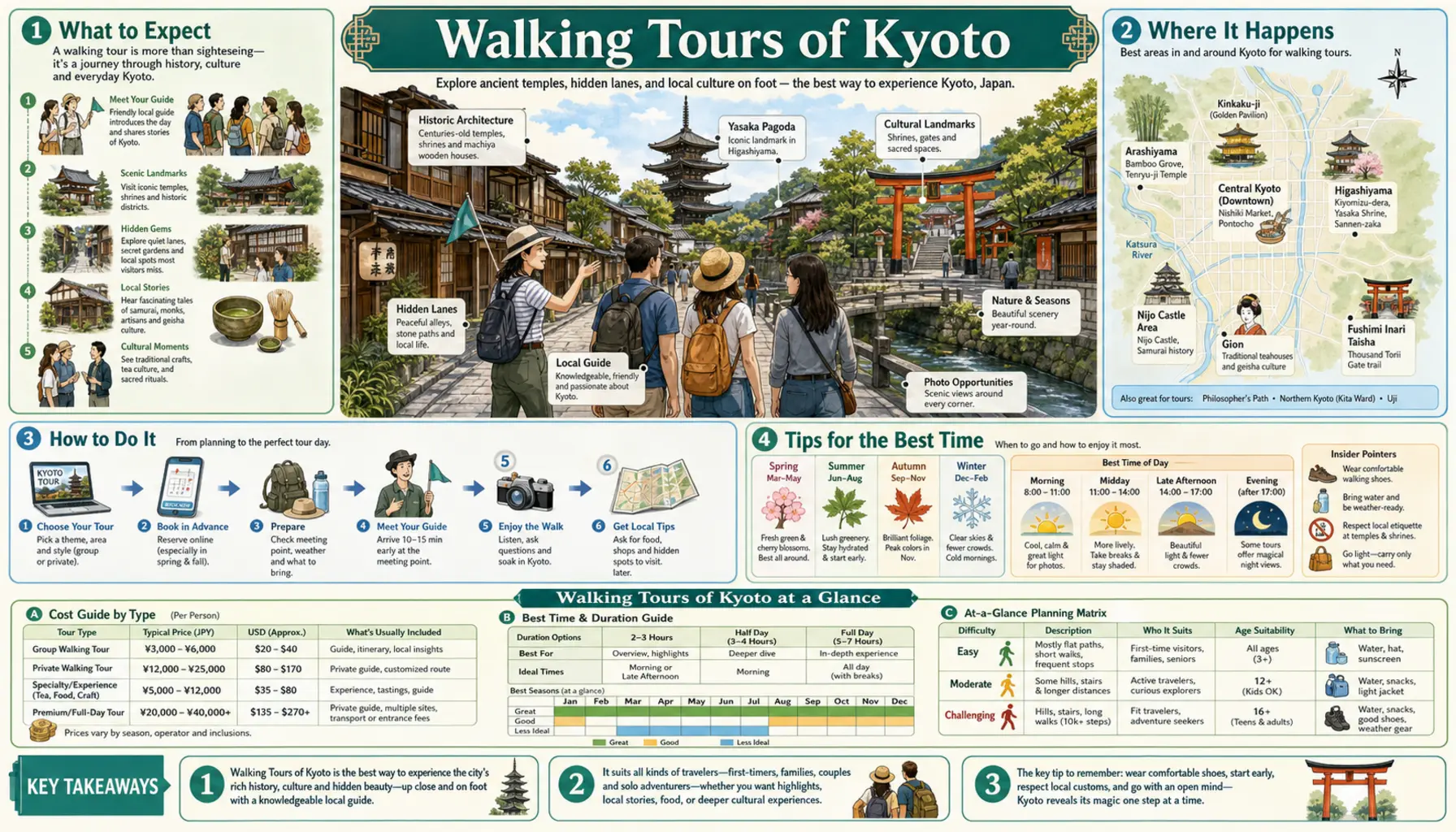
Kyoto was laid out on a grid in 794 and it still reads like one, which makes it the easiest large Japanese city to walk without constantly checking a map. The distances deceive, though. Kiyomizu-dera to Ginkaku-ji looks close and takes about ninety minutes with the hills. The city rewards early starts more than long days, since the Sannenzaka steps and the Arashiyama bamboo path are close to empty at seven and shoulder to shoulder by ten. Build a route around one district, walk it slowly, and take the train between districts.
Routes that work
The Higashiyama run is the classic. Start at Kiyomizu-dera near opening, drop down Sannenzaka and Ninenzaka, cut through the stone-paved Ishibe-koji lane behind Kodai-ji, cross Maruyama Park and finish along Gion Shirakawa, two to three hours with stops. North of that, the Philosopher's Path follows a canal for about two kilometres from Ginkaku-ji towards Nanzen-ji, where the Meiji-era Suirokaku brick aqueduct and the Keage Incline make an unexpectedly industrial finish. In the centre, Nishiki Market into the Teramachi arcades, out to the Kamo at Sanjo and down Pontocho covers food, shopping and river in an easy hour.
Logistics
Wear shoes you can slip off, because most temple interiors require it. Buses are the slow option here: the Karasuma and Tozai subway lines, the Keihan line up the river's east bank and Hankyu running under Shijo all move far faster between districts, and an ICOCA or Suica card covers every one of them. Summer walking needs a real plan, so start at seven, break between noon and four, and resume in the evening. For guided options, volunteer goodwill guides run free or tip-based tours from around Kyoto Station, and the evening food walks earn their fee in Pontocho and Kiyamachi, where the standing bars are too small and too unmarked to find alone.